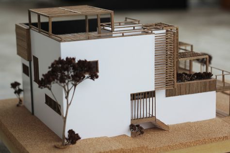
An urban planning model is the tangible representation of urban development, a district, or an entire city. Urban planning models Paris create models that effectively illustrate the development and redesign of city neighborhoods. They are particularly useful when dealing with urban changes in proximity to an active and dynamic environment, aiming to illustrate critical points on a social, economic, and political scale. An urban planning model Paris emphasizes the integration of new construction into an existing urban environment.
Goals of an Urban Planning Model Paris
Urban planning models Paris have several tasks to fulfill: they need to clarify protected areas, activity centers, parking spaces, and transportation, respect the city's historical monuments and architectural values, maintain power supply, and preserve nature through green planning.
Urban planning models Paris can reassure elected representatives, investors, or decision-makers before approving new construction projects in a neighborhood. An urban planning model serves as a communication tool that allows residents to engage in these transformative projects and assess their reactions.
Creating an Urban Planning Model
Urban planning models Paris are mainly created in small scales such as 1:500, 1:750, or 1:1000. Choosing different levels of representation and partial or full coloring of the model facilitates the presentation and builds trust among residents. Streets and buildings are illuminated with LEDs.
Since these models have long-term use, they need to be durable, and the components of ongoing projects must be detachable to accommodate potential changes during the construction of a district or a city. Urban planning models Paris also offer the possibility of a schematic study to highlight volumes and main axes that separate buildings and roads without going into intricate details.


